Home » Kalo Chorio Orinis Village
Kalo Chorio Orinis Village
Discover Nicosia’s history and culture with expert-guided tours, revealing hidden gems and landmarks along the way.
Kalo Chorio Orinis Village
Nature Meets History
Kalo Chorio Oreinis: A Journey Through Time in the Nicosia District
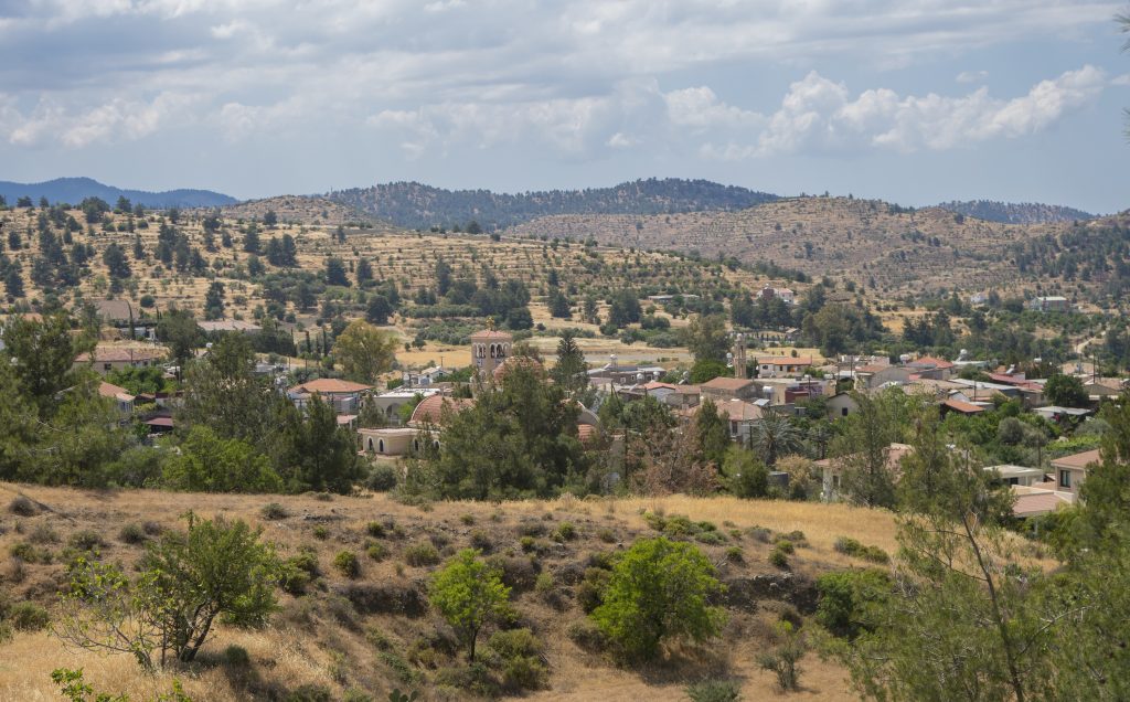
Nestled on the foothill of the Adelfi forest, the village of Kalo Chorio Oreinis spreads across a lush green landscape. Located in the Nicosia District, this charming village lies just 30 kilometers southeast of the capital, at an altitude of 500 meters.
Historical evidence confirms that the village has existed since ancient times. Archaeologists have discovered numerous ancient tombs and artifacts, including pots from the Archaic, Classical, and Roman periods.
Furthermore, the area showcases remnants of life from antiquity, highlighted by the discovery of mines and the remains of an ancient settlement found in the locality of Zythkionas.
Ais Ampelis Winery
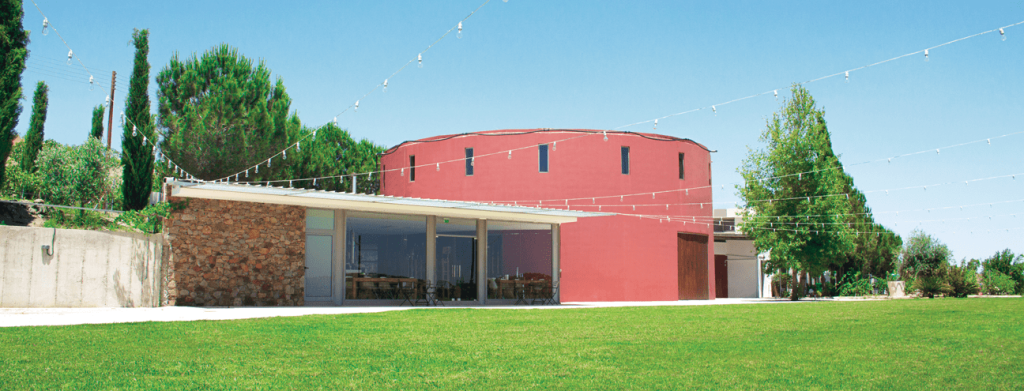
The winery, founded in the early ’90s, aims to produce wines of unique character and premium quality. Nestled on the slopes of Kalo Chorio Orinis in the Nicosia District, it lies just 28 km southwest of the capital.
This winery features a distinctive architectural style, showcasing a two-level structure that houses modern winemaking facilities. It includes an underground cellar for barrel and bottle aging, as well as a tasting and reception hall.
Surrounded by a three-hectare vineyard, the estate cultivates grape varieties such as Maratheftiko, Shiraz, and Chardonnay. Additionally, the vineyard is carefully managed using natural farming techniques, ensuring high-quality produce.
"Pikrovrysi tis Merikas" nature trail & Canyons - Nature trail
The “Pikrovrysi tis Merikas” nature trail takes its name from the historic natural water spring at the starting point and from “Merika,” the name of the settlement located at the trail’s end during the medieval period. This area features the “Merika” picnic site.
Spanning 4.7 km, the trail takes about one hour to walk. It begins at the Venetian bridges and ends at the “Merika” picnic site. As you start your journey, you will encounter one of the most significant and spectacular exposures of the Lower Pillow Lavas.
This outcrop showcases the stratigraphically lower part of the volcanic sequence, where a lower unit of hyaloclastites sits atop an upper unit of pillow lavas, both of which are intersected by swarms of nearly vertical dykes.
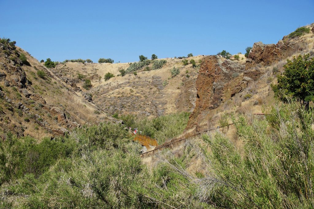
Impressive canyons and caves have formed from the long-term erosion caused by the swift waters flowing through the riverbeds of Maroullena. At the confluence of the Farmakas and Maroullena rivers, you will find the largest ancient canyons, which inspire awe and admiration in visitors.
However, approaching these canyons requires caution, as it is very dangerous to descend into them. You can access the canyons via the Maroullena riverbed during times when there is no water flow.
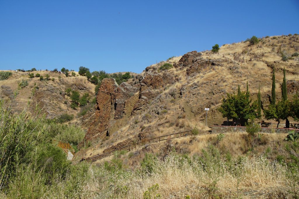
Ancient Tunnel - Kokkinorotsos - Askopelos Forest
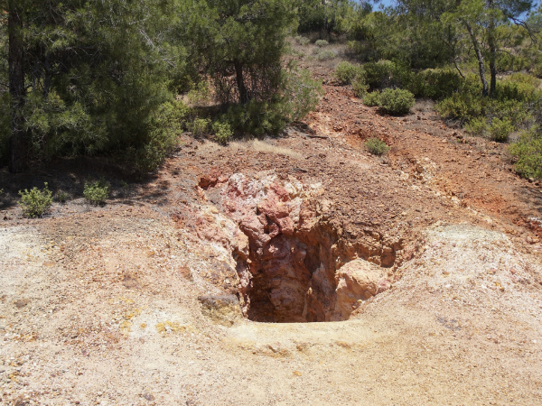
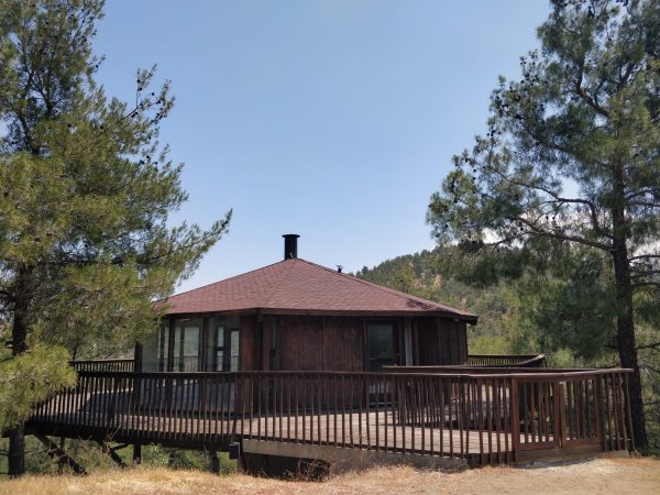
Ancient miners carved a mining gallery into the oxidized lava rock. The intense shades of oxidation—yellow, red, and orange—sparked their interest as they searched for copper ore.
At the Kokkinorotsos site, miners once extracted copper and later ochre. Moreover, they carved numerous mining galleries in an impressive manner.
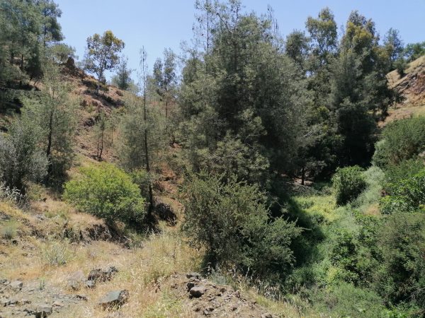
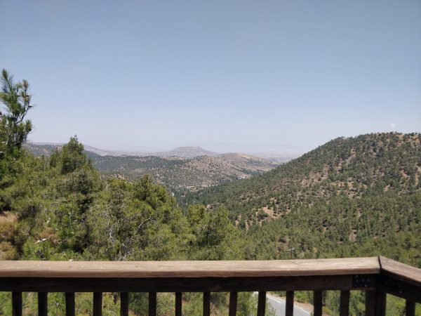
The government-owned forest of Askopelos extends into the administrative boundaries of the village. Additionally, it sits at the highest point of the village.
Kalo Chorio Orinis: Venetian Bridges
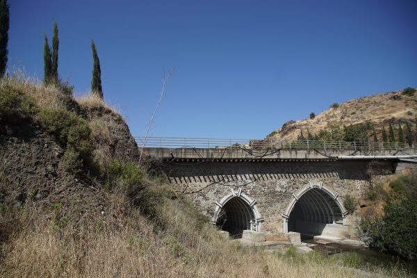
Along the Maroullena river there are two impressive bridges built during the Venetian period.
During the British occupation, they were widened from the south and recently metal structures were placed to strengthen them.
They were nominated for the World Cultural Heritage List by the Cyprus National UNESCO Commission.
Kalo Chorio Orinis: Dam - Merika picnic area
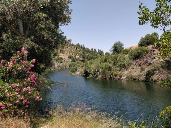
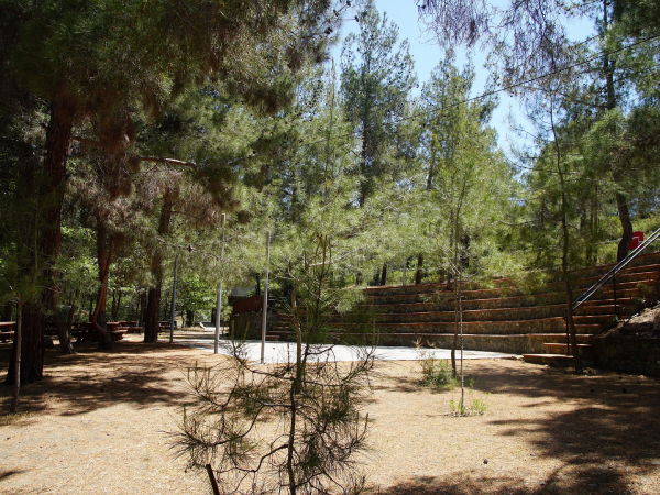
At the southern edge of the village, the homonymous dam stands, built between 1945 and 1946 during British rule. This dam not only preserves the crops of the inhabitants but also serves as a hub for biodiversity conservation.
The area is home to a rich variety of fauna, including amphibians, reptiles, fish, insects, and birds. Additionally, larger animals such as foxes and hares also inhabit the vicinity of the dam and other parts of the village.
Furthermore, a picnic area is available, equipped with toilets and a barbecue area, ensuring convenience and accessibility for all visitors, including those with wheelchairs.
Agios Georgios Old & New Church
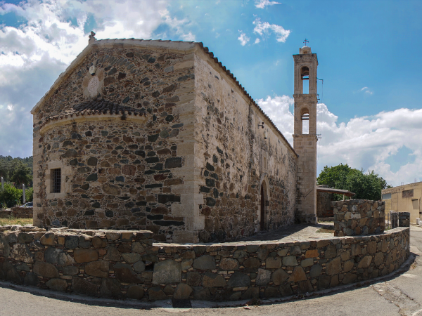
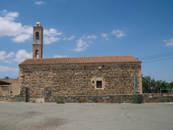
The old church of Agios Georgios, featuring a simple yet prominent church tower, sits in the heart of the old village. Built at the beginning of the 17th century, specifically in 1633, the church underwent renovations two hundred years later, in 1833.
Constructed from mountain stone, with sandstone accents in the corners and broken tiles, the church exemplifies a barrel-vaulted design with a single nave. Its steep-pitched roof is covered with tiles, while its dominant bell tower showcases rich decorations across two arched floors, which were added in later construction.
Inside, the church is adorned with a 17th-century golden carved iconostasis, complemented by 19th-century bulwarks and a separate iconostasis featuring the icon of Agios Georgios.
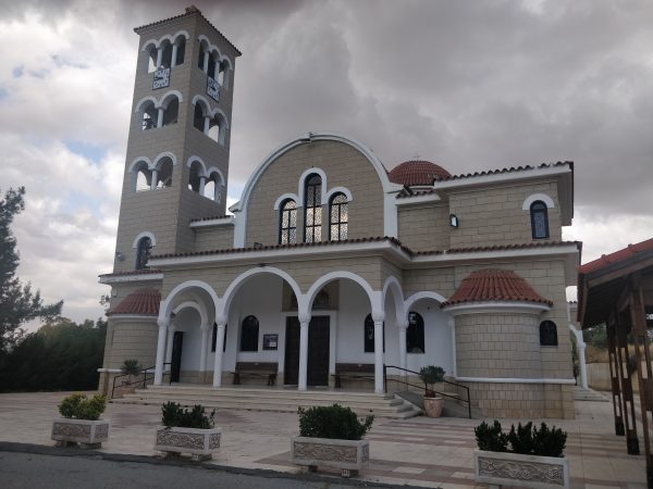
Moreover, a new church of Agios Georgios has been constructed near the old church. The construction of this larger church began on August 1, 1993, following a suggestion from the Archimandrite of the Holy Archbishopric of Cyprus, Mr. Fotis S. Konstantinides. The first holy service in the new church took place on April 7, 1996.
Old aqueduct
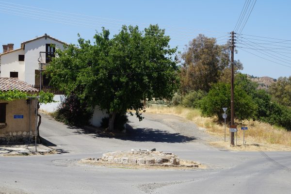
Near the village centre there is an old aqueduct. It is a complex of 8 pits that were connected to each other by an underground deep burrow.
It served the needs of the inhabitants and the surrounding villages. Even today in times of heavy drought, it continues to flow non-stop. Its construction date is lost through the centuries.


